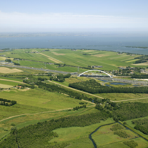
In Sweden, the island Märson and the land along the banks of the Mälaren Lake in which it is situated, enjoy a slightly warmer climate than the surrounding region. The hilly landscape is a patchwork of pastures, meadows and forest. The banks of the lake are curvy, with many bays and inlets sustaining a rich flora and fauna.
Highway 55 runs from Norrköping to Uppsala and daily more than five thousand cars use the old bridge that connects the island of Märson with the north bank of the lake. The bridge, built in 1953, has a vertical clearance of six meters and has to be opened frequently for the two thousand cargo ships and eight thousand pleasure yachts that pass every year. The Swedish Transport Administration engaged in a study to find the best replacement for the old Hjulsta bridge. A tunnel proved to be too expensive, a ferry inadequate and the question arose which type of bridge on exactly which location was best in technical, economic, ecological and aesthetic terms.
The architectural office ZJA, together with Bosch Slabbers Landscape + Urban Design(landscape architects) and Iv-Consult (engineering consultancy) form a Dutch team that collaborates with the Swedish Transport Administration to formulate the specifics of the new bridge. The Swedes tackle these kinds of questions in a different way than the Dutch. The major difference is that instead of starting with a master plan and a set of requirements, the Swedes leave the pre-requisites more open in the beginning. Architects, landscape architects, construction experts (the Finnish company VR Infrapro) but also ecological and environmental experts from the Swedish firm Calluna take part in a process managed by the Swedish Transport Administration to investigate how exactly design of the new bridge should be formulated. Apart from building professionals, also other parties are part of this preparatory trajectory, like representatives from the shipping business, the military who will use the bridge with heavy equipment, the municipalities and residents near the bridge, cyclists organizations, farmers, the fire brigade and fishermen.
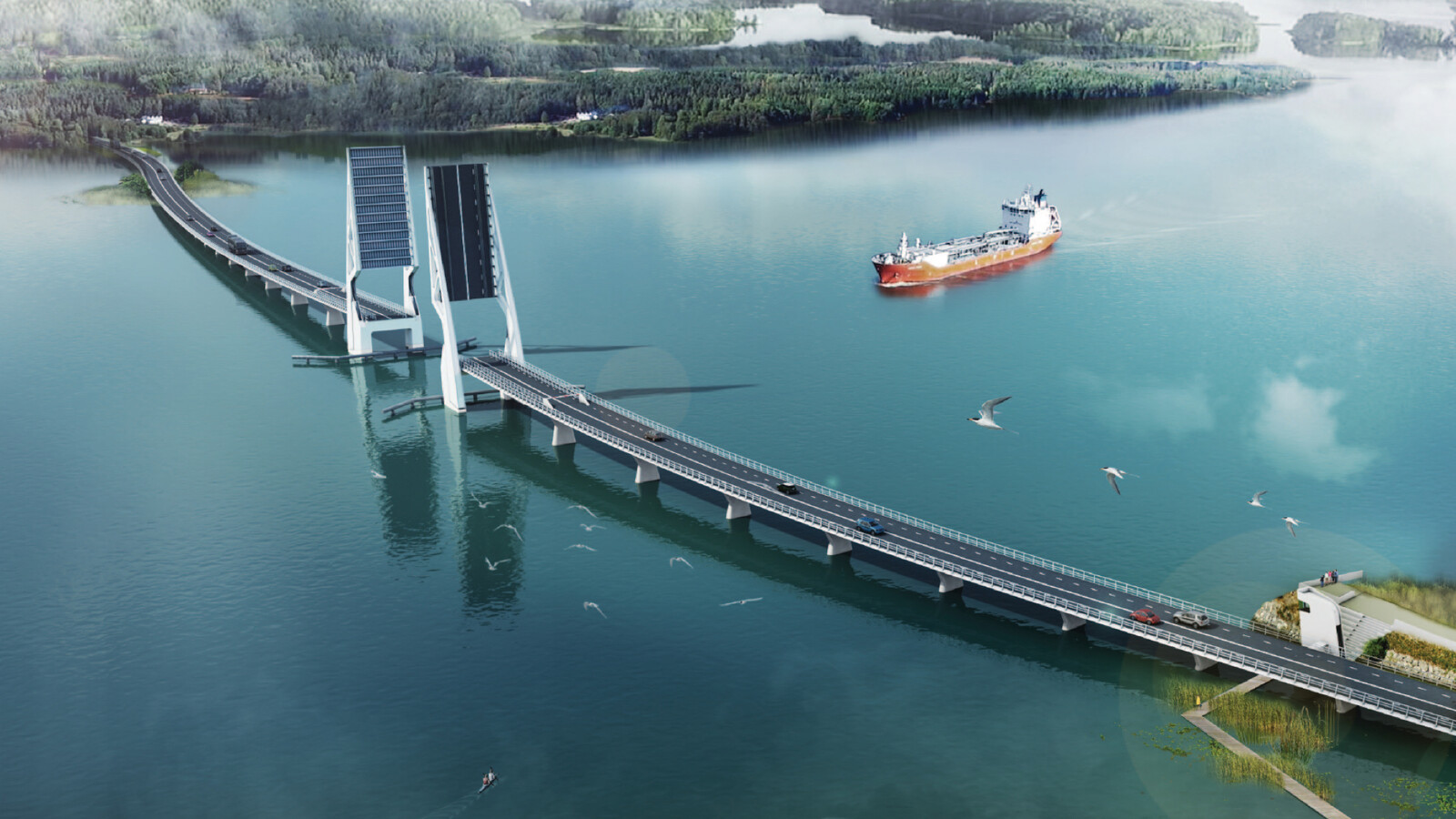
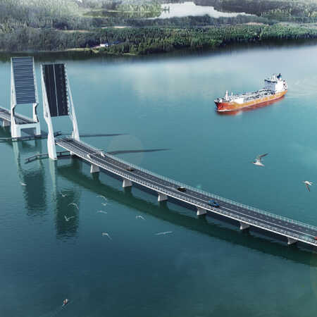
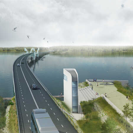
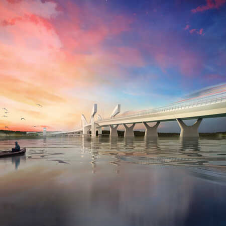
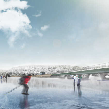
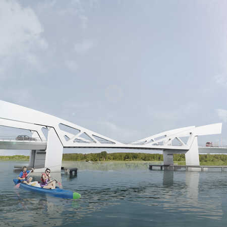
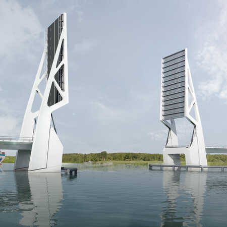
Four very different options were investigated. A high and not operable bridge with considerable impact on the landscape, but friendly to shipping. A lower bridge that can be opened but high enough to let leisure boats pass without restriction. A low operable bridge and fourthly the option to refurbish the existing bridge by replacing only the operable part. Different techniques to open the bridge and different trajectories were taken into account. A change in location for the bridge impacts landscape, residents and nature in varying ways. In the end, after discussing the report detailing the four options, the Transport Administration will make a well-reasoned choice. And only then, after this sophisticated and rich investigation and the final definition of the set of requirements, can the actual design phase start.
Architect: ZJA
Client: Trafikverket
Principal: VR infrapro AB
Landscape architect: Bosch Slabbers Landscape + Urban Design
Engineering consultant: Iv-Consult
Year: 2017 - Present
Project: #1029
